NLS Releases 37,000 Old Maps Online
I like collecting old maps. I like the stories they tell: how towns and cities have grown from tiny hamlets and fields.
Getting a selection of old maps online and geo-referenced is a bit of cartographic porn. Imagine my delight upon reading that *The National Library of Scotland *has released some 37,000 maps of Great Britain and selected other areas online and are rapidly working to geo-reference (show in the right place on an overlay) them.
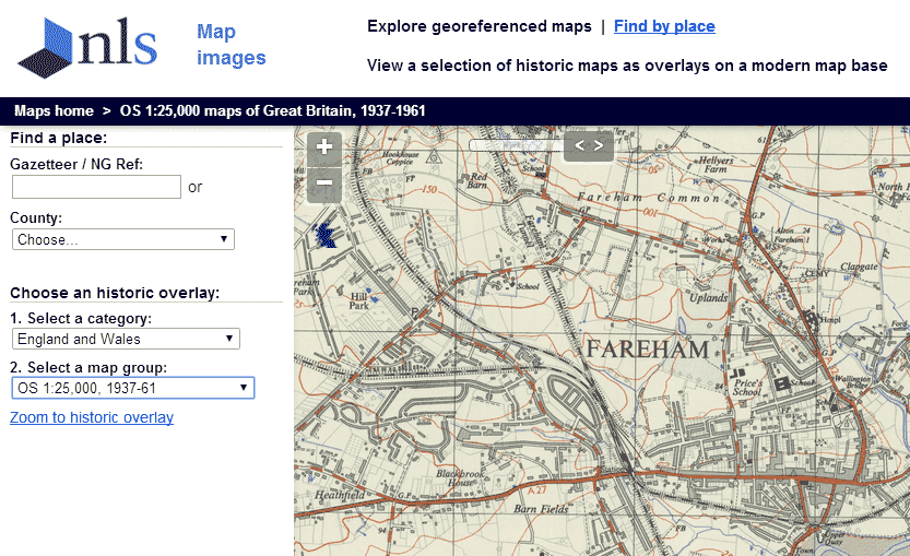
Pure pleasure.
(Found via oobrien.com)