I found a nice little website from the UK goverment today – it’s called Empress.gov.uk and can be used to find (for now) roadworks in various parts of the country.
However, this particular mapping site goes into extraordinary detail, including showing the boundaries of each household.
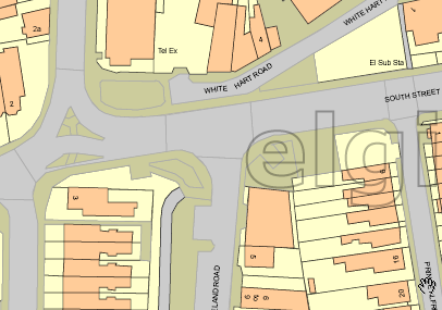
What’s even more interesting again is the Javascript in the page revealing the possibility of aerial photos:
var g_bShowAerialPhoto = false;
Now that will be interesting.
(Also worth noting, for computer-y people, is that the entire system is built using VML. Unfortunately it doesn’t have the same rendering speed as Google Maps, but it’s stil pretty clever stuff)